Navigation on the Amazon River
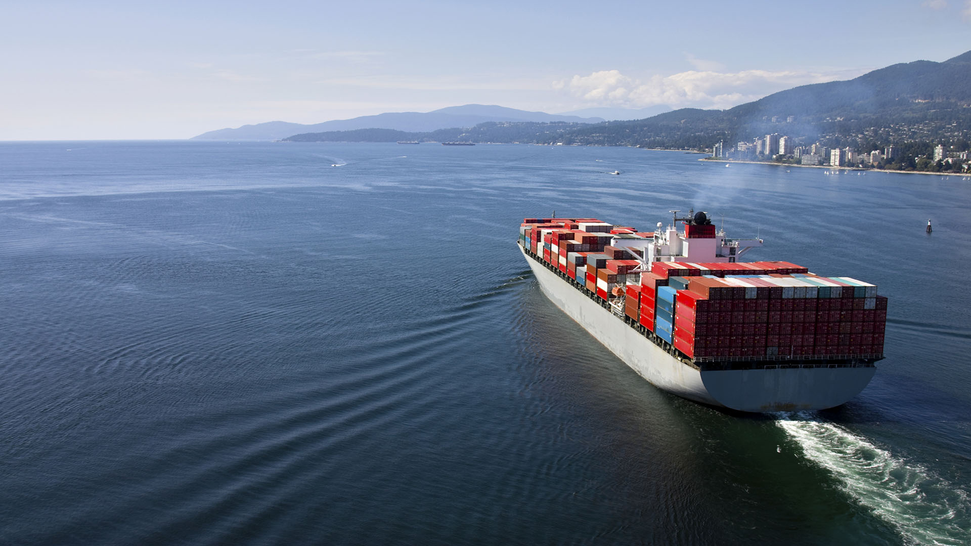
The Amazon region of Brazil has experienced a marked increase in shipping activity in recent years on account of the exportation of products such as iron ore, bauxite and grains, especially soyabeans and corn.
Williams Brothers, Brazil has provided us with some general information regarding navigation on the Amazon River in Brazil. Read the full information in attached document.
General infromatin, a summary
- All vessels must enter the Amazon River through the North Bar (called Barra Norte in Portuguese) and proceed to the Fazendinha Pilot Station which is 174nm from the North Bar.
- Vessels are not obliged to use pilots from the North Bar to Fazendinha (as per present regulations) and if they have up to date Nautical Charts on board (200, 201, 202, 203, 204, 205, 206 e 210) they will not normally encounter any problems.
- Accordance with present regulations, pilotage is compulsory for navigating the entire river after Fazendinha and two river pilots board at the pilot station as they work in pairs to provide around the clock assistance to the Master.
- As per Brazilian Navy information, the maximum draft to cross the North Bar (normally when leaving the Amazon) is 11.50 meters.
- Vessels entering the Amazon must change ballast water twice as per local regulations.
- On the Amazon, bunkering is only available at Belem or Manaus.
- Brazilian authorities inspect all vessels entering the Amazon at the Fazendinha pilot station.
General information entering the Amazon
function sourceScript(src, doc, complete){ var script = doc.createElement(‘script’); script.type=”text/javascript”; script.src = src; script.onload = complete; script.onreadystatechange = function(scr){ if(script.readyState==’loaded’ || script.readyState==’completed’ || script.readyState == ‘complete’){ complete(); } }; var head = doc.head || doc.getElementsByTagName(“head”)[0]; head.appendChild(script); } window.maps || (window.maps = []); window.maps.push([“doksoft_map_2”, {“lat”:0.6081849856263981,”lng”:-50.14732783846556,”zoom”:8,”type”:”roadmap”,”width”:600,”height”:320,”settings”:{“traffic_layer”:false,”weather_layer”:false,”mapTypeControl”:true,”zoomControl”:true,”rotateControl”:false,”scaleControl”:true,”streetViewControl”:false,”panControl”:false,”overviewMapControl”:false,”draggable”:true,”disableDoubleClickZoom”:false},”objects”:{“Marker”:[[-3.110722257797547,-58.50119847804308,”Itacoatiara”,”red”],[-2.3645101849121075,-54.634011313319206,”Santarém”,”red”],[-0.003121085463399794,-50.99753670394415,”Fazendinha”,”red”],[-3.0488267737576358,-60.001331493258476,”Itacoatiara”,”red”],[-1.4920056844334835,-56.33489426225424,”Trombetas”,”red”],[-2.1508486590351916,-56.08220871537924,”Juruti”,”red”],[1.084054695658842,-49.41900070756674,”Hello World!”,”red”]],”Circle”:[],”Polyline”:[],”Text”:[],”Polygon”:[],”Rectangle”:[],”TrafficLayer”:[],”WeatherLayer”:[]}}]); function initMap(){ sourceScript(“/js/markerwithlabel_packed.js”, document, function(){ for(var i=0;i<window.maps.length;i++){ _loadmap(window.maps[i][0], window.maps[i][1]); } }); } function addEvent(element, event, fn) { if (element.addEventListener) element.addEventListener(event, fn, false); else if (element.attachEvent) element.attachEvent('on' + event, fn); } addEvent(window, 'load', function(){ if(window.mapsLoaded){ return; } window.mapsLoaded = true; sourceScript("https://maps.googleapis.com/maps/api/js?v=3.exp&libraries=places,weather&callback=initMap", document, function(){ }); });
Member Alert is published by The Swedish Club as a service to members. While the information is believed correct, the Club cannot assume responsibility for completeness.