MSS Case March: Case Study – Wrong charts lead to grounding
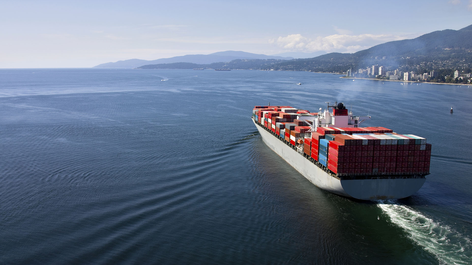
The bulk carrier had departed a grain loading terminal earlier that day at around 17:00 LT, carrying about 45,000 MT of bulk corn, bound for another port to complete cargo loading before proceeding to ports in the Middle East. The sailing draft upon departure was recorded at 9.78m,
adhering to the maximum permitted draft of the day. The river navigation was under the command of an experienced local river pilot, assisted by a second pilot. After the harbour pilot disembarked at 19:30 LT, the downriver passage continued without notable incident until 22:01 LT when the vessel was suspected of briefly touching the bottom, prompting the pilot to reduce engine speed to half ahead. Ten minutes later, while approaching the vicinity of a navigational buoy, the vessel’s speed dropped rapidly from 8.5 knots to zero, signifying a clear grounding event.
Following immediate unsuccessful attempts to re-float with engine commands of full ahead, hard rudder, and full astern, the vessel officially reported grounding at 22:35 LT. The pilot initially attributed the grounding to insufficient river depth, claiming incorrect tidal information, despite the vessel’s ECDIS indicating a position significantly to port of the charted channel centerline. AIS data subsequently verified the vessel was
approximately 80 meters from the channel axis and 30 meters beyond the channel limit at the time of grounding. The local Coast Guard responded promptly, boarding at 23:30 LT for initial assessments and confirming no pollution or environmental damage. Due to the urgency of clearing the navigational obstruction, salvage operations commenced promptly. Assisted initially by one tug (65 Tonnes Bollard Pull), and later joined by a second tug (76.8 TBP), the bulk carrier was successfully refloated the following day at 23:35 LT.
Inspection by the Coast Guard revealed no structural damages or water ingress, leading to clearance for the vessel to continue her voyage.
Investigations highlighted significant discrepancies between the vessel’s ECDIS display and the pilot’s personal tablet-based ENC chart, which displayed the vessel inaccurately positioned within the channel boundaries. Preliminary surveyor findings indicated that the grounding was most likely due to the out-of-date chart utilized by the pilot. It was noted that the electronic charts displayed on the pilot’s and salvage master’s tablets were not official navigation charts. According to maritime rules, the only official charts recognized are those displayed on certified ECDIS equipment or official paper charts issued by a recognised hydrographic service.
Questions
When discussing this case please consider that the
actions taken at the time made sense for all involved.
Do not only judge but also ask why you think these
actions were taken and could this happen on your vessel?
Does our SMS address these risks?
- What specific techniques could help the bridge
team maintain situational awareness, especially
under high stress and nighttime transit conditions? - How could the use of a safety margin have
improved the bridge team’s situational awareness? - What steps should be taken when discrepancies
between navigational systems are observed? - How can reliance on unofficial charts be
reduced onboard? - Why is it crucial to cross-check pilot-provided
navigational aids against official ship systems? - What are the responsibilities of the watchkeeping
team regarding monitoring vessel position?
- What immediate corrective actions should the
crew take upon detecting positional deviations?
- In what ways could early or enhanced
communication with the pilot have helped identify
sailing outside the official channel? - Do we use the close loop and PACE when we
communicate operational issues on the bridge? - After a vessel sustains contact with a bank or
structure, how do we determine if it is safe to
proceed further? Who needs to be consulted
(Class, authorities, shore management)? - How might fatigue or stress influence the
judgment and reaction times of the crew and
Pilot during prolonged high-pressure conditions
in restricted waterways? - Which everyday practices can we reinforce to
handle abnormal conditions more safely? - How can lessons from this event be transferred
to other high-risk navigation areas—rivers, straits,
or ports? - What immediate, actionable steps can we take
from today’s discussion?

MSS Case March: Case Study – Wrong charts lead to grounding
The bulk carrier departed a grain terminal with 45,000 MT of corn, navigating downriver under pilotage. Despite an initial suspected bottom touch, the vessel grounded later that evening after deviating significantly from the channel.
For more Loss Prevention information, please contact:
Joakim Enström, Loss Prevention Manager
E-mail: joakim.enstrom@swedishclub.com
Each month, the Club’s Loss Prevention team issues a new safety scenario to assist members in their efforts to comply with international safety regulations and follow best practices.